Lot 186 - A202 Livres & Autographes - mercredi, 21. septembre 2022, 14h00
ATLASES -
Ortelius, Abraham.
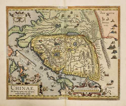
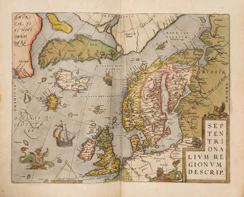
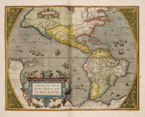
Theatrum orbis terrarum. - Parergon. - Nomenclator ptolemaicus. 3 parts in 1 volume. With colored engraved title, portrait and intertitle and 147 double-page colored woodcut maps.
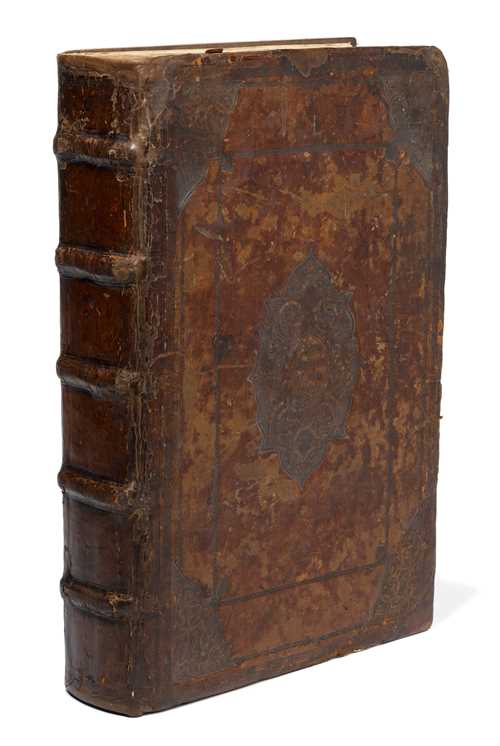
Antwerp, Plantin, 1595 [only the third part dated]. Gr. folio (44.5 × 31.5 cm). [1] w. pp., [12] ll., 115 drawn maps, [4] ll., 32 drawn maps, 30 pp., [2] pp. Restored publisher's binding of the time with faded gold embossing, arabesque corner and large centerpiece and inscription "Theatrum orbis terrrarum" (covers somewhat rubbed and scuffed, older traces of restoration or material additions to the back cover and to the spines and joints).
Van der Krogt 31:051 - Koeman Ort 29 - Phillips 374 - Shirley BL, T.ORT–1aa - Sabin 57693. - Complete copy with 115 maps in the Theatrum as well as the 32 historical maps of the Parergon. - The use of printed atlases was the natural practice of the traveler for centuries. An atlas opened up the world and the routes between countries and continents. But what exactly is an atlas? This question can be answered easily: it is the clever combination of maps and explanatory texts invented by Abraham Ortelius (1527-1598) in the last third of the 16th century. He came up with the idea of having sea and land maps engraved in a uniform format and publishing them together in one volume. - The work, first published in 1570, made the knowledge of the best geographers of his time available to a wider public. The discovery of America by Columbus and also the first circumnavigation of the world by Magellan were not too far in the past. Even the educated were still hardly familiar with these areas as well as many European countries. Ortelius succeeded in presenting the world to his contemporaries as if on a stage: As scientifically accurate as possible, he also presented the globe in an artistically appealing manner, adorned with mythological depictions and decorated with illustrations of nautical devices or ships. After the great success of the first edition, the company continued to expand in the following decades, with new maps constantly being added to the inventory. If the first edition had 53 maps, our copy of 1595 already includes 147 maps. - Condition: Minimally browned and finger spotted, the engraved title hardly visible stronger; the world map newly seamed, fold and margin tear thereby backed. Europe and Germany map also with backed marginal tears, otherwise no significant map defects. The last sheets of the "Nomenclator" with spot of humidity in the lower margin. On the first white sheet handwritten "Register of tables so not found in the Indice" by old hand (backed in the lower margin). - Overall very good copy in beautiful coloring of that period. -
Provenance: Fischer, Luzern, Auction (1987), Lot 583. - Since then private collection Switzerland.
CHF 40 000 / 60 000 | (€ 41 240 / 61 860)
Vendu pour CHF 79 600 (frais inclus)
Aucune responsabilité n'est prise quant à l´exactitude de ces informations.


